
Work a Harrison Township Street Address
A street search in Harrison Township starts with a county parcel, not a claimed household list. The Montgomery County Auditor property search accepts a street number and street name, owner name, or parcel number. For the address route, the county says to leave off the direction and street suffix. Search the street name first to see the available results, then add a number for one parcel. Save the parcel ID, situs address, mailing address, listed owner, legal description, and latest sale or deed reference. The situs is the land or building location. The mailing field may be somewhere else.
That distinction keeps a Harrison Township street directory useful without overclaiming. The Auditor can identify an assessed owner and the map can confirm a parcel's position. The Recorder can identify parties to a recorded document. A directory volume can place a name at an address in its publication year. None of those sources alone proves every person who lived there. Keep the source date and role with every name.
- Run the address in the Auditor search. Use the street name without its direction or suffix, then capture the parcel ID and the property card details.
- Open the same place in the Auditor GIS. Use the address, street, or intersection tools to confirm the parcel and nearby street segment.
- Record the legal description before leaving the property record. A township, section, and range description can be more durable than an old street number.
- Take the listed owner and legal description to the Recorder. Follow the deed reference or use the grantor, grantee, or tract route at the Recorder counter.
- Use the Treasurer search for selected-year parcel context. For older addresses, ask the Dayton Room for a relevant reverse or criss-cross directory and compare it with deeds and tax records.
Note: The Township's name, a Dayton postal label, and a parcel description can all appear in one address trail without meaning the same thing.
Harrison Township Street Directory in MCRealEstate
The Auditor's public form is the most direct current-address tool in the Harrison Township street directory. Its wildcard help allows an asterisk for broad street fragments, while the County walkthrough suggests trying alternate spellings such as a number written as a word. The form displayed a maintenance notice when examined, so a temporary web problem should lead to the Auditor counter or the Recorder's public terminals rather than a guess about the property. A result summary can show ownership and mailing information, the most recent sale buyer, a deed reference where present, tax detail, and the legal description after expanding the owner information.
| Auditor field | Entry type | Needed | Harrison Township search note |
|---|---|---|---|
| Number | Text | No | Use a street number to narrow a result list. |
| Street Name | Text | For a useful address query | Leave out direction and suffix; * supports wildcard searching. |
| Filter By | Dropdown | No | The captured public form did not expose its option list. |
| Sort by and direction | Dropdown controls | No | Use them to make a broad street result easier to review. |
| Results/page | Dropdown | No | The captured interface did not expose its options. |
| Address, Owner Name, Parcel | Search modes | One route | Switch keys when an address is not enough. |
The Treasurer's selected-tax-year search is a useful check once the parcel is known. It takes a tax year plus parcel ID, owner name, or street number and street name. Like the Auditor, it says not to enter a street direction or suffix. It offers tax context and a parcel link, not proof of present occupancy.
The official Treasurer search is shown in this Harrison Township street directory capture.
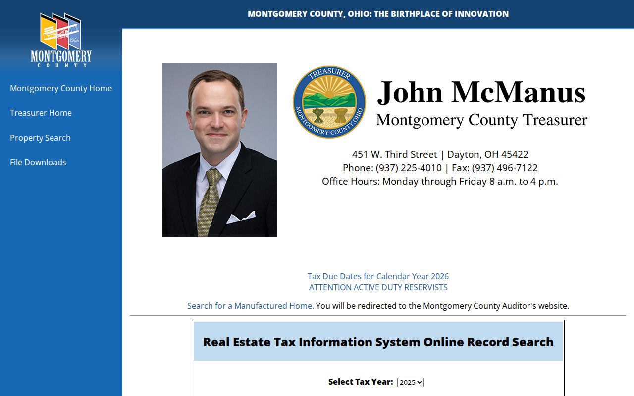
Use the tax screen to corroborate the parcel and year, then return to the Auditor or Recorder for the different record role needed.
Map Harrison Township Streets in GIS
The Montgomery County Interactive GIS supplies the spatial part of a by-street search. Its Find Address/Street/Intersection module has Address and Zone inputs, plus Street 1 and Street 2 controls with Show Street and Show Intersection actions. The map also has coordinate search, map click, measurement, a document viewer, and spatial selection. It is a way to confirm where a parcel sits and how a street segment relates to parcel lines. It does not replace the Auditor property card or turn a map into a resident list.
For a defined segment, use Street 1 and Show Street or navigate from an address result. The spatial selector accepts a buffer distance in feet or miles and point, line, polygon, or rectangle shapes. Check each selected parcel separately in the Auditor record. The County cautions that GIS information is not warranted against errors or interpretation problems, which is another reason to verify map context against the property record and deed.
- Parcel
- A county-defined property unit identified by an ID and shown in tax and map systems.
- Situs address
- The physical location assigned to land or a building, distinct from a correspondence mailing address.
- Plat
- A recorded map that lays out lots, streets, or subdivisions and can help connect a legal description to a place.
- Criss-cross directory
- A reverse directory organized by address, usually showing a name and phone information for the publication period.
Harrison Township Records With Address Keys
Several record systems can be searched by address in Harrison Township, but each answers a narrower question. The street directory is strongest when the results are kept separate and then compared. The parcel ID and legal description connect property and deed work. A street string can connect a map, a tax search, and a relevant historical directory volume. Township permit files may add a project trail, but the official Planning and Zoning page did not provide a general public permit-register search.
| Address-keyed record | Custodian | What it can establish | Access route |
|---|---|---|---|
| Parcel and property card | Montgomery County Auditor | Listed owner, situs and mailing fields, legal description, sale reference | MCRealEstate, Auditor counter, Recorder terminal |
| Tax record | Montgomery County Treasurer | Selected-year parcel, owner, address, and tax context | Online form, Treasurer counter, Recorder terminal |
| GIS parcel map | Auditor GIS | Parcel geometry, street context, map-linked document route | Interactive map and GIS office |
| Recorded land instrument | Montgomery County Recorder | Parties, recording date, legal description, and title references | RISS, Recorder counter, Copy Center, Archives |
| Zoning or permit trail | Harrison Township and county channels | Application, work, inspection, or occupancy context when available | Township request, email, mail, in-person, county building channel |
| Address directory listing | Dayton Room | A name at an address in a particular publication year | Desk, local-history collection, licensed databases |
A voter record follows separate Ohio rules. The individual lookup requires a person's first name, last name, and county, then can refine by street name. Ohio's public-data route provides dated county snapshots, not an anonymous street-wide household list. Safe at Home and other protected records are excluded, so an absence should not be treated as proof about a person.
Take a Harrison Township Parcel to RISS
After the Auditor provides the current owner and legal description, use the Recorder's Information Search System, known as RISS, for the recorded-land side of the Harrison Township street directory. The portal begins with a legal-disclaimer acceptance and permits a guest route. Its search modes include name, type, municipality, subdivision, STR, instrument, book and page, fiche, pre-1980, date, and certified dates. RISS can be incomplete for an older trail, so the Recorder's fifth-floor public terminals and the Records Center & Archives remain essential channels.
The County's Home and Property Research Guide shows the documented move from a current owner and legal description to Recorder records, GIS documents, and Archives sources.
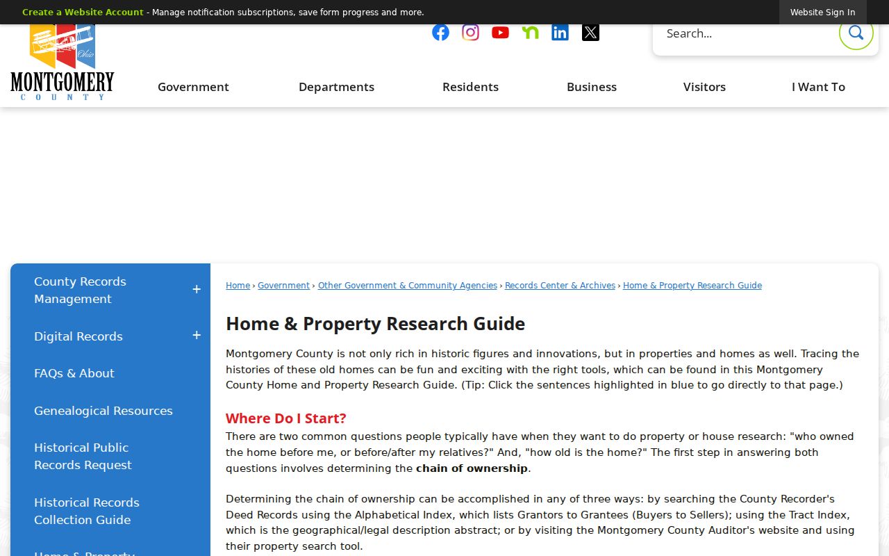
Use its legal-description trail to decide whether a deed, abstract book, tract index, or archival record is the next best source.
RISS By Name requires a Last/Firm Name and offers Begins With, Contains, and Exactly matching. First Name, party side, dates, sort order, and index type refine the search. The common default index choices include Deeds, Mortgages, Partnerships, and UCC. A result grid can show type, index, file date, parties, legal description, file number, reference, and image links. Record whether a person is a grantor, grantee, mortgagor, or mortgagee. The party role describes the instrument, not a household relationship.
The Recorder's name-search form illustrates the fields used after the parcel work is complete.
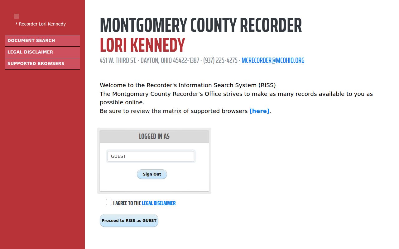
Search by a verified owner name or legal-description route, then use the document reference to move backward one recorded transfer at a time.
Harrison Township Street Permit Trail
Property change can leave a separate address trail with Harrison Township Planning and Zoning. The Township describes zoning certificates for new construction, additions, paving or parking, signs, fences, accessory structures, pools, sheds, garages, patios, and other changes. Its process can move from a Township zoning application to county building permits, Township Fire Marshal inspection, county occupancy certification, and final compliance documents. A narrow request should name the property address, approximate time, work type, and any known application or permit number.
The Township Planning and Zoning page accepts permit materials by web upload, email, mail, or in person, but it does not publish a web search for all permits. The optional Township RC 100 request form also supports inspection, pickup, or mailed copies. Inspection is free; the form says 24 copies or fewer are free and 25 or more cost five cents each, plus mailing and any advance payment. Ohio's Public Records Act does not require the form, a reason, or a disclosed identity for a valid request.
Older Harrison Township Streets by Address
For a past address, the Dayton Room is the local-history route rather than a modern parcel portal. Its regional collection serves Dayton, Montgomery County, and the Miami Valley. The relevant runs include Dayton city-directory street guides from 1914 forward, suburban directories from 1956 forward, and Haines City & Suburban Criss-cross volumes from 1945 forward in Local History Reference and from 1954 forward in Genealogy Reference. The city series follows city limits, so a Harrison Township researcher should begin with the suburban or Haines series and ask the desk to confirm the volume and reverse coverage.
A street guide can list properties in ascending house-number order. A criss-cross volume is leaner, often giving street address, name, and phone information. Both are snapshots. Compare a directory result with the closest released federal census, a deed, tax duplicate, obituary, probate file, or map before making a claim about who lived there. The historical collections themselves are available through the Harrison Township city directories route.
Note: An absent directory entry can reflect a move, a spelling variant, a publication practice, or noninclusion rather than a definite absence from the area.
Harrison Township RISS Pre-1980 Limit
Insider tip: The RISS search labeled Pre 1980 is not a full pre-1980 deed index. Its year menu covers only 1971 through 1979, requires a numbers-only pre-1980 number of up to four characters, and separates deeds from mortgages. That narrow scope is easy to miss when retracing a Harrison Township street directory result. For an earlier document, shift to the Recorder counter, deed books, the historical indexes, or the Records Center & Archives instead of assuming the online field reaches to the beginning of county deeds.
The RISS Pre-1980 form visibly limits the online browser route to that short span.
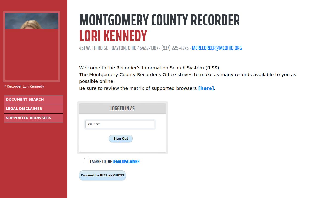
Montgomery County's historical deed records reach to 1805 through the Recorder and Archives channels, but a particular parcel must still be followed through its legal description and available index.
Harrison Township Street Labels Can Differ
Myth: A Dayton postal address settles the jurisdiction for a street record. It does not. Harrison Township is unincorporated, and a postal city, ZIP code, tax situs, legal description, school district, and voting district are separate systems. The Township government center carries a Harrison Township label, while a delivery address elsewhere may use Dayton. Treat those labels as search terms to preserve, not evidence that one record is wrong.
Use the USPS ZIP Code Lookup to verify delivery formatting, then use the Auditor parcel record, GIS, tax record, and legal description for government-record geography. The six Census ZCTA areas that intersect the Township are useful mapping context, but no ZIP alone proves Township inclusion or residency at an address.
Limits of a Harrison Township Street Directory
A Harrison Township street directory cannot show a complete household. Parcel and tax systems may show an owner or correspondence address. Recorded instruments show document parties. Utility and delivery-customer records are not a public street directory, and Ohio motor-vehicle information is restricted. Ohio voter data also excludes Social Security numbers, driver or state ID numbers, phone and email data, confidential voter records, protected-worker addresses, and Safe at Home participants. Court records can be sealed, restricted, or less available remotely than at the counter.
Use public address records for lawful personal research, family history, property context, civic questions, or a documented estate matter. Do not turn a partial record trail into a claim about present occupants.
Privacy and lawful use. Harrison Township address records are not a tool for stalking, harassment, intimidation, or harm. Respect protected records and confirm important facts with the custodian that holds them.