
Harrison Township Neighbors by Parcel
Harrison Township neighbors are best researched one parcel at a time. Montgomery County's Auditor property search provides the current property-card route. The interactive GIS provides the parcel geometry and nearby street context. Recorder records identify recorded parties for a particular instrument. The Treasurer can corroborate a selected tax-year parcel link. Those sources answer different questions and should not be blended into a statement that every person named is a current occupant. The Township's notices and meetings are public government records, not a private resident directory.
| Block source | What it can show around an address | Harrison Township access |
|---|---|---|
| Auditor property search | Individual parcel, listed owner, mailing and situs fields, legal description | Address, owner, or parcel search |
| Interactive GIS | Parcel lines, street context, map selection, measurement and buffer tools | County GIS viewer or GIS office |
| Recorder deeds and indexes | Recorded transfer parties, instrument references, legal-description history | RISS, counter, or Archives |
| Treasurer tax search | Selected-year tax, parcel, owner, and address context | Treasurer search or counter |
| Voter lookup or data | Permitted individual registration facts or dated public snapshots | Ohio SOS and Board of Elections rules |
| Township notices and meetings | Public local-government actions, notices, and department contacts | Harrison Township official site |
A listed owner can live elsewhere, because the property card can show a different mailing address. A map boundary can place a parcel beside another parcel without saying who occupies either building. Record the exact role and access date for every result.
Mapping a Harrison Township Block
Start with the address in the Auditor search, copy its parcel ID, and open the same place in the GIS. Zoom until adjoining parcel lines are visible. The map supports a street or intersection search, map clicks, measurement, spatial selection, and a document viewer. It is a map tool, not an automatic neighbors button. Once a parcel is selected, verify each one through the Auditor property card before noting a listed owner or mailing field.
- Locate the anchor address with the Auditor address search and preserve the parcel ID, situs, mailing field, and legal description.
- Find the property in the Auditor GIS by address, street, intersection, map click, or a result-based selection.
- Zoom to the adjoining boundaries, then click each parcel separately or define a modest spatial selection for the part of the block needed.
- Open or match each selected parcel to the Auditor record and label the person only as the listed owner when that is what the property card shows.
- Use a deed reference or Recorder search only for the particular parcel under review, then keep its instrument date and party role.
For a complete named-street chain, including older directory and deed work, use the Harrison Township by-street directory. That broader method is different from a small-radius parcel check.
Harrison Township Neighbor Map Tools
The Auditor GIS has a Spatial Select Tool for a defined small area. Its visible controls include a buffer-distance field, feet or miles units, point, line, polygon, and rectangle shapes, plus a selection-from-search-results option. The map also supplies address and zone fields, Street 1 and Street 2 dropdowns, coordinate search, and area or length measurement. The inspection did not expose a special nearby-resident control or the full list of map layers, so Harrison Township neighbors should never be described as an automatic map output.
- Parcel
- A defined unit of land in the county's property system, commonly identified by a parcel ID and legal description.
- Situs address
- The location of the land or building. It can differ from the owner mailing address shown for correspondence.
- Buffer
- A map selection made around a point, line, or shape for a stated distance. It finds geography first, not people.
- Legal description
- The lot, subdivision, or township-section-range description used to identify land in recorded property work.
Note: Keep a buffer modest and parcel-specific, because the map can show geometry but cannot establish a complete household list.
Harrison Township Neighbor Owner Fields
The property card is the first place to verify a selected parcel. The county's walkthrough says the address search uses a number and street name, asks users to omit suffixes and directions, and supports owner and parcel modes. A street name alone can return a street list, while a number narrows the result. The summary identifies ownership information, property mailing address, the most-recent-sale buyer, a deed reference where available, tax details, and a legal description when the owner information expands.
Do not use the mailing field as evidence that an owner lives at the situs. A trust, business, or nonresident owner may be correctly listed. The Treasurer's selected-year search can corroborate a parcel, owner, or address linkage, but it does not prove occupancy either. If a recorded transfer needs confirmation, take the legal description or deed reference to the Recorder. The Recorder's RISS is a web channel with a legal-disclaimer acceptance and guest route; the counter remains a documented fallback.
Harrison Township Neighbor Voter Facts
Ohio does not provide an official anonymous voters-on-this-block tool. My Voter Information requires first name, last name, and county, with a later street-name refinement. The public DATA Act route has election, start-date, end-date, and county-list fields, then provides dated registration snapshots under its request rules. It is possible to verify an individual record where lawful and relevant, but neither path is a promise of a complete block roster.
R.C. 3503.13 excludes Social Security numbers, driver or state ID numbers, telephone and email data, confidential-voter records, protected-worker addresses, proof of citizenship, and other protected information. Safe at Home participants' name, precinct, and residence are excluded from public voter lists and pollbooks under R.C. 111.44. A missing result therefore does not establish that a person is not registered or does not belong in a neighborhood.
The right use for election information is a narrow cross-check of an already documented person and county. Preserve the snapshot date or lookup date, and never treat a voting record as proof that all nearby addresses contain the same people.
Harrison Township Community Record Contacts
Community information has an important documented limit. The official Harrison Township site provides Trustees, Planning and Zoning, public meetings, notices, parks and service functions, but the inspected official sources did not identify a searchable resident, association-member, civic-club-member, congregation-member, or block-watch roster. No verified umbrella directory of neighborhood associations or HOAs, and no set of public association contacts, was found. A private roster should not be inferred from a public notice.
| Public contact or record route | What is available | Faithful limit |
|---|---|---|
| Harrison Township government | Trustees, Fiscal Officer, departments, agendas, minutes, public notices | Government action and contact only, not neighbor membership. |
| Planning and Zoning | Permit process, zoning documents, hearing and notice routes | Applicant or address evidence is not a household directory. |
| Township Government Center | 5945 North Dixie Drive, 937-890-5611, weekdays 8 a.m. to 4:30 p.m. | Ask for a specific existing township record or department contact. |
| Association directory search | No verified official public directory located in the research | Do not invent names or claim private rosters are public. |
For a local project, hearing, permit, or public-notice question, identify the address, subject, approximate date, and department. That gives the Township a searchable record description without asking staff to create a list of Harrison Township neighbors.
Harrison Township Neighbor Block Patterns
Block geometry varies across Harrison Township. The Township's land-use material describes older, pre-1950 stabilize areas with gridded streets, regular small blocks, and homes often on 5,000-square-foot lots. It identifies Fort McKinley, areas between Hillcrest and Siebenthaler, Meadowdale, North Riverdale, and parts of Northridge. Shiloh is a traditional neighborhood village around Main Street, Philadelphia Road, and Markey Road. These local names can appear in maps, notices, and historical materials, but they do not establish who lives at a given address.
Later suburban streets, especially west of North Main, commonly use curving streets and cul-de-sacs. Older parcels can be keyed by a lot, tract, map, or township-section-range description while a later subdivision record may use a modern street number. That difference is why a Harrison Township neighbor search should save the legal description before moving from the map to recorded documents. The map, property card, and Recorder instrument each supply a different part of the answer.
Harrison Township Neighbor Source Comparison
Official records and commercial neighbor-search products are not interchangeable categories. A commercial product can merge mapping, property, and other data, but it can be outdated or conflate similar names. Official sources are more transparent about their custodian and the limits of each record. The best Harrison Township neighbor search keeps every finding attached to the individual parcel and source date.
| Official parcel and records sources | Commercial neighbor-tool category | Practical result |
|---|---|---|
| Shows custody, searchable field, record role, and access boundary | May combine sources with unclear update timing | Prefer the official parcel, deed, tax, election, or township source for verification. |
| Separates map geometry from property ownership and recorded instruments | Can present a blended label as if it were one fact | Keep owner, occupant, mailing, and recorded-party claims distinct. |
| Provides correction or request routes through the actual custodian | Uses its own privacy or correction process | A commercial correction cannot remove the original official record. |
This is a useful local myth to avoid: a parcel map is not a neighbors list. It is the geographic starting point for a bounded, record-by-record check.
Harrison Township Neighbor Records Requests
When an address-specific township record is not online, request the existing record from the right department or Fiscal Officer under the Ohio Public Records Act. The Township's RC 100 form is optional, not a legal prerequisite. It supports inspection in the building, pickup, or mail delivery. Inspection is free, 24 copies or fewer are free, 25 or more cost five cents each, and mailing costs are added. A narrow request for a zoning application, public notice, meeting item, or permit file should include the address and approximate date range.
The assigned Montgomery County public-records routing page helps direct a county request to the correct custodian when the record concerns tax, court, vital, arrest, building, or another county service.
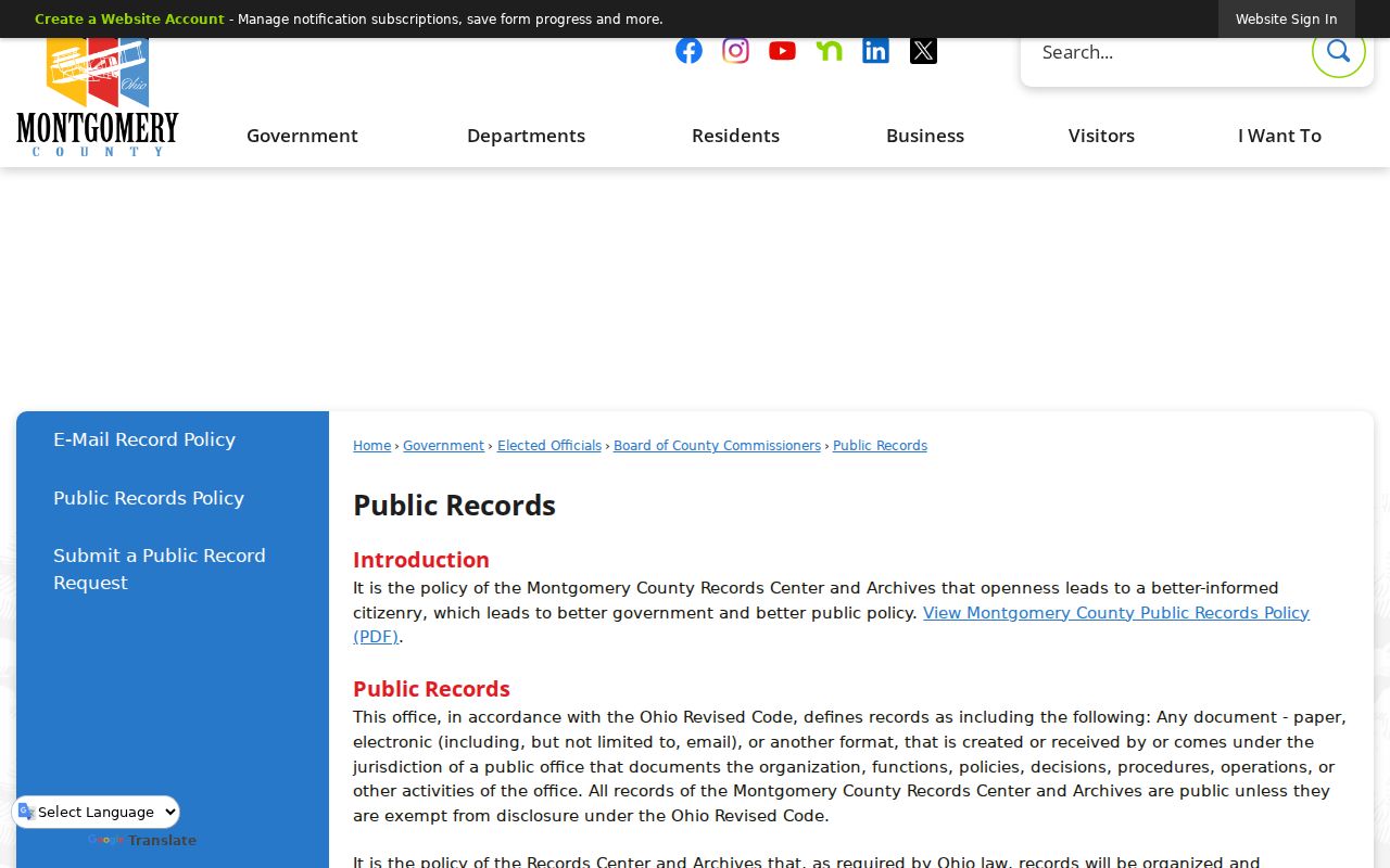
The routing information keeps a public-records request focused on the office that holds the record rather than asking a neighbor question of the wrong agency.
Private Limits for Harrison Township Neighbors
Public access has firm limits. Parcel records do not list every household member. A mailing address can differ from the property location. Utility and delivery data are not public neighbor directories. Motor-vehicle records are restricted. Court records can be sealed or limited. Ohio voter records exclude sensitive fields and protect confidential participants. Safe at Home uses a substitute mailing address for qualifying participants, and protected voter records are not public list entries.
For an official document containing eligible sensitive information, use the custodian's correction or redaction path. R.C. 149.45 provides a process for certain personal information in online public records, while the Attorney General's redaction form must be sent to the office that holds the document. Do not publish or repeat private data while seeking removal. A no-result can reflect protection, an index limit, or a record held by another custodian.
Note: The responsible use of a block record is to understand a documented parcel or public action, not to assemble private household information.